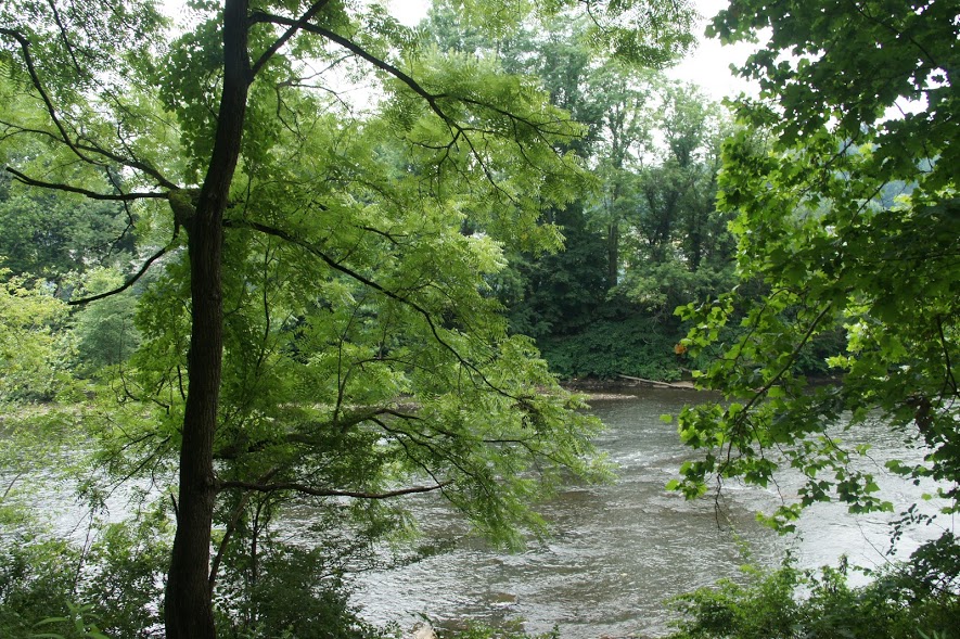
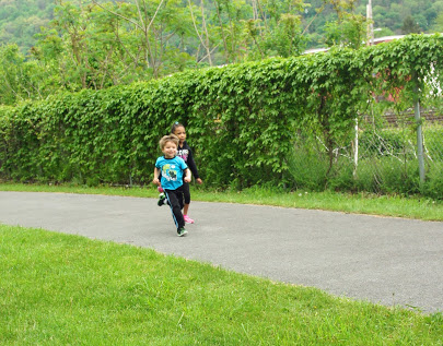
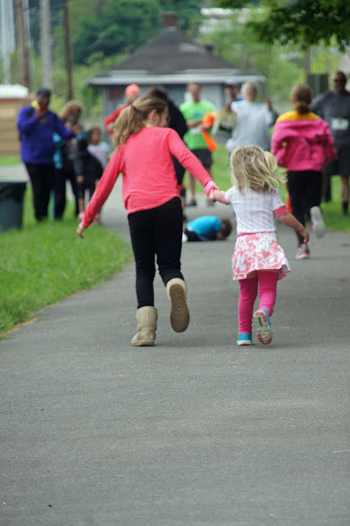
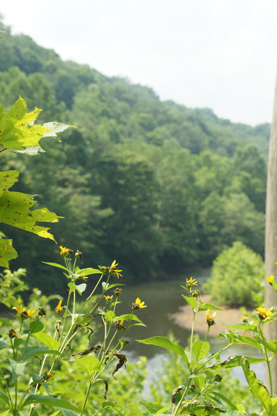
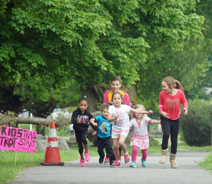
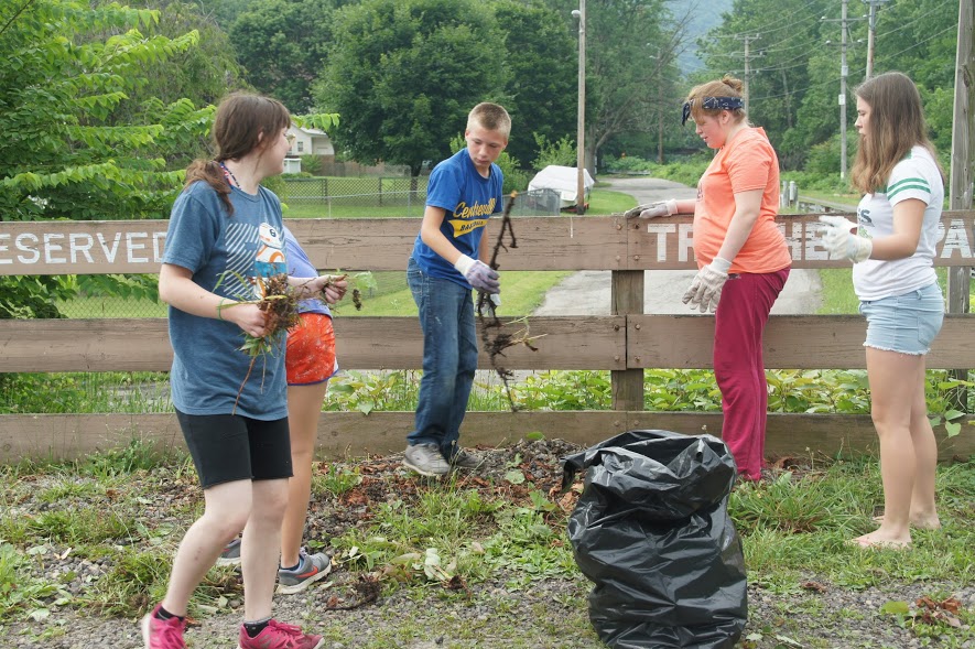
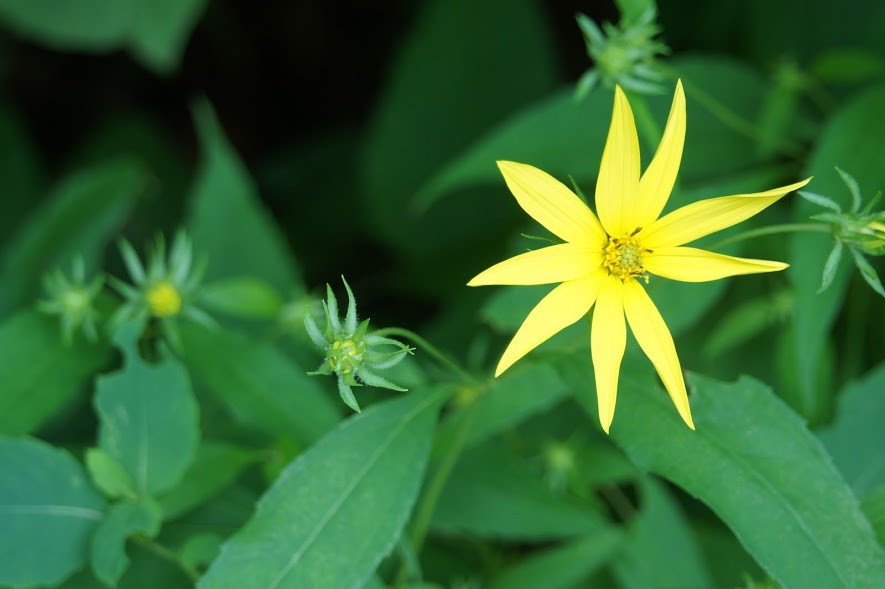
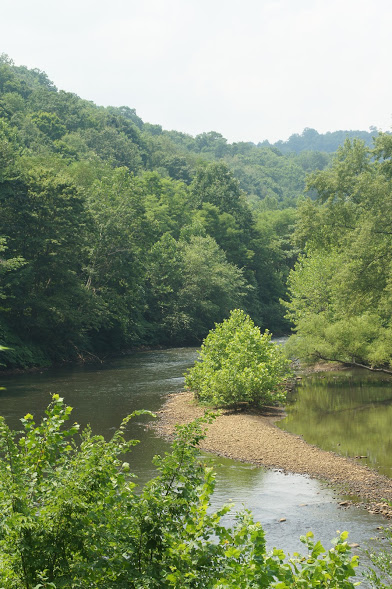
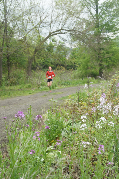
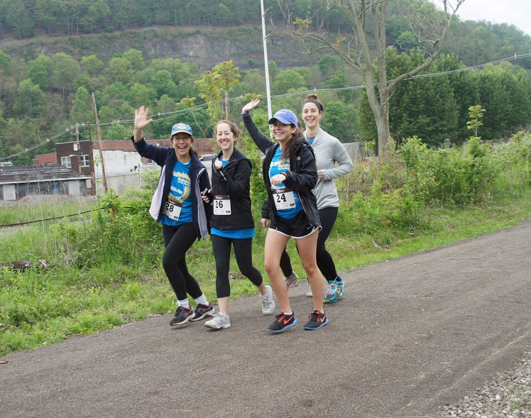
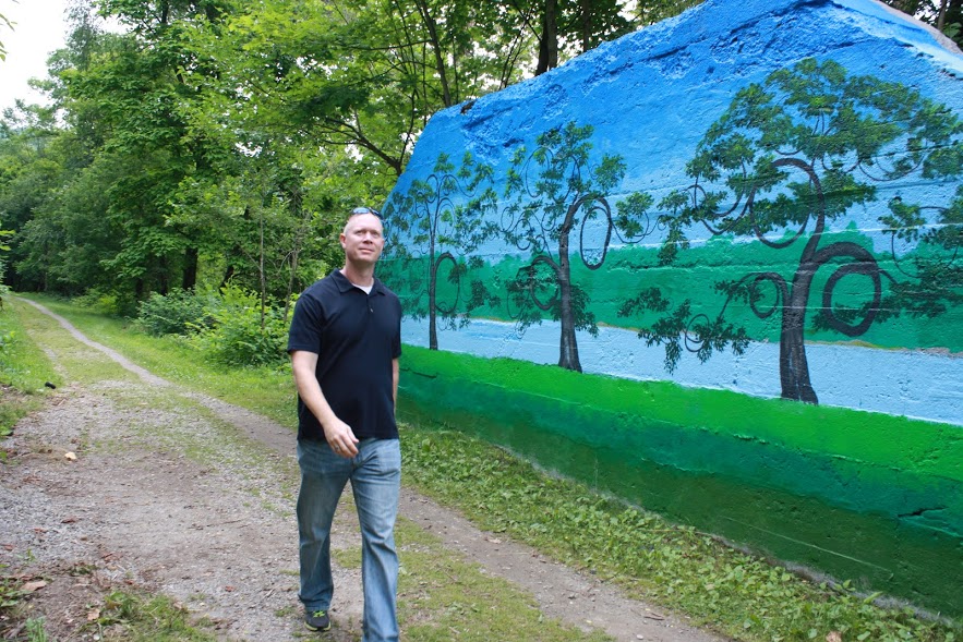
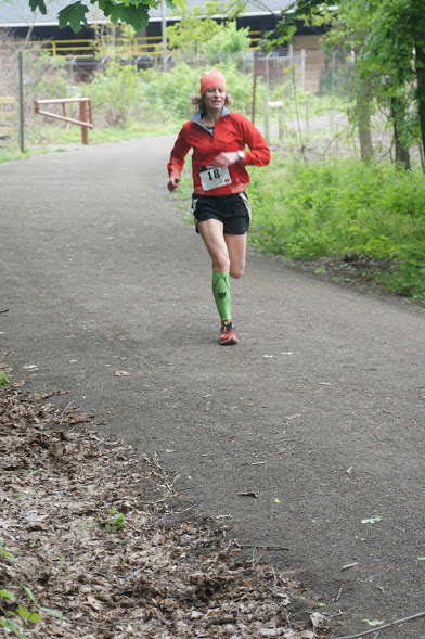
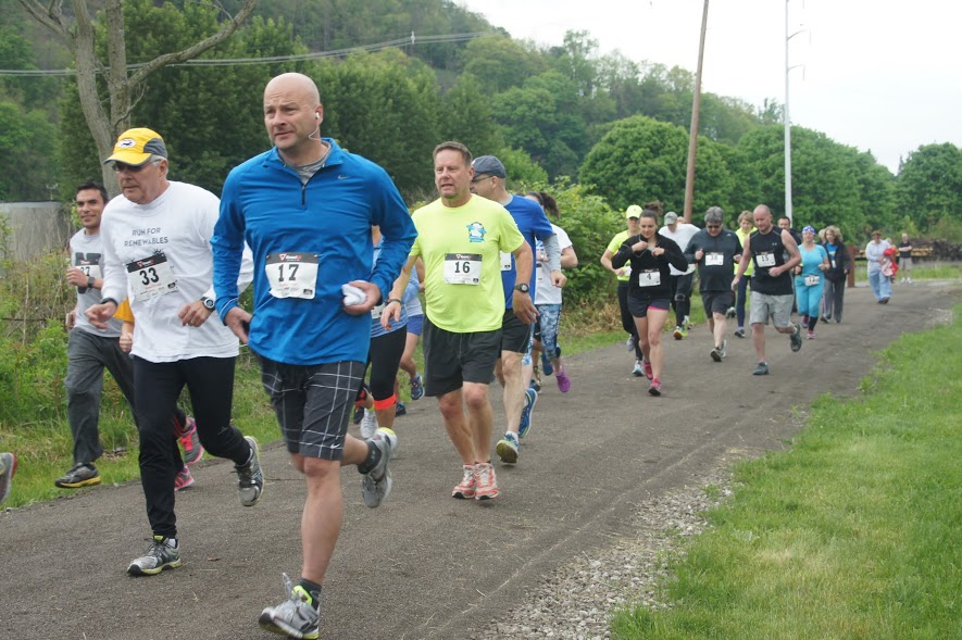
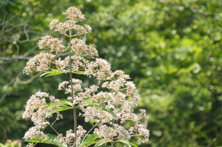
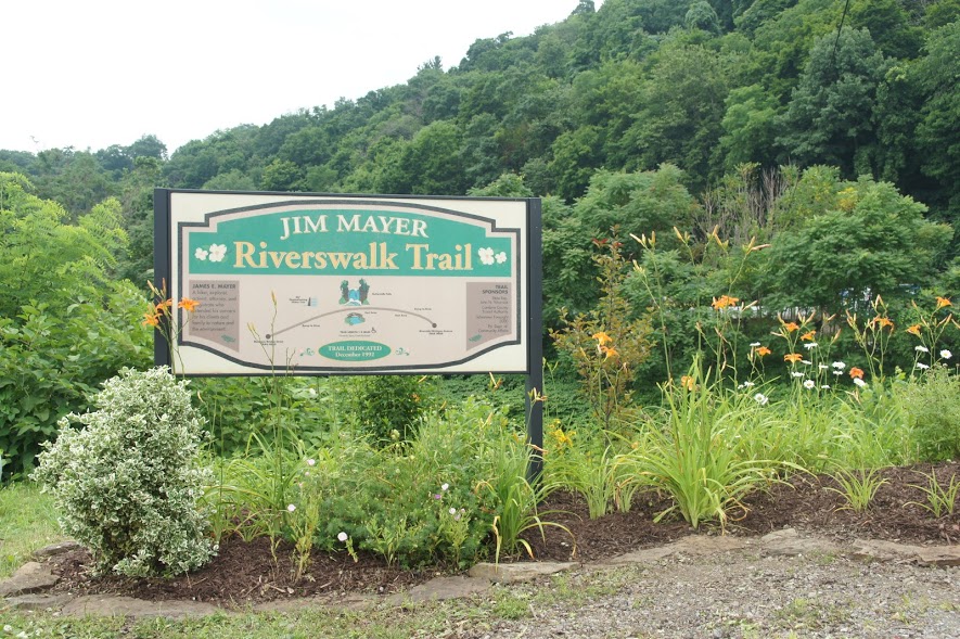
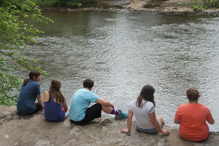
Named for a local conservationist, the Jim Mayer Riverswalk Trail is a delightful, 3.1-mile (5k) urban trail on the east end of the City of Johnstown. Following the Stonycreek River, the trail begins in Riverside on Michigan Ave. and ends in Hornerstown on Messenger St., near Sandyvale Memorial Gardens & Conservancy. This trail offers beautiful views of the river, abundant bird-life and wildflowers, picturesque Buttermilk Falls and serenity within an urban setting.
Trail Maps

Trail Heads (with parking)
Cleveland Street
31 Cleveland Street
40.292551, -78.917006
Riverside
301 Michigan Avenue
40.282341,-78.916132
Bridge Street
119 Bridge Street
40.293810, -78.918477
Messenger Street
68 Messenger Street
40.308983, -78.913866
Hickory Street
88 Hickory Street
40.91407, -78.914047
Photo Gallery

Trail Description
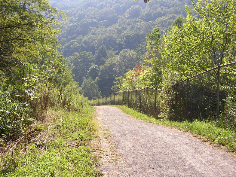
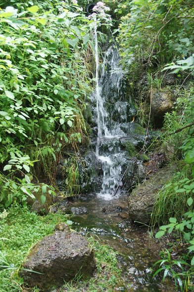
The Jim Mayer Riverswalk Trail is part of a growing urban trail system in Johnstown that currently follows the Stonycreek River from Hornerstown to the residential community of Riverside. One of its best features is the 50-foot Buttermilk Falls, located about 0.7 miles from the Riverside trailhead. The Riverswalk is nearly level, and its surface is groomed and easily ridden or walked.


